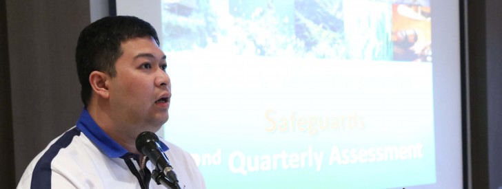
 PRDP Project Director Emerson Palad assures support to the Socials and Environmental Safeguards (SES) Unit to facilitate processes in compliance with the SES requirements for PRDP sub-projects during the SES Mid-year Assessment and Training on E-VSA, AGT, and QGIS on July 7-12, 2014 in Davao City. (Photo by: Kathrino Resurreccion)
 Usec Palad steers PRDP forward during SES assessment meeting
July 21, 2014
Department of Agriculture’s Philippine Rural Development Project (DA-PRDP) Director and Undersecretary for Operations Atty. Emerson Palad affirms the importance of putting into place safeguards on the implementation of sub-projects within PRDP during the mid-year assessment meeting of Social and Environmental Safeguards (SES) Unit recently in Davao City.
Palad told participants that problems related to environmental and social issues can be easily avoided if project implementers are guided accordingly on the permits and guidelines they need to comply with. And that the SES Unit is responsible in orienting the implementers.
He added that he particularly attended the assessment to familiarize himself with the overall operations within the PRDP as the Project Director and to contribute ideas which can help in streamlining processes within the Unit.
“PRDP has adopted the environmental and social safeguards framework that lays down the four guiding frameworks which are the environment, indigenous peoples, land acquisition and grievance redress mechanism,” Palad said.
“And this grievance redress mechanism is a welcome addition to the safeguards framework as it facilitates generation of feedback from our project beneficiaries while prompting the project management and our partner implementers to do regular check and balance on how we carry out our project implementation with the least adverse impact as possible,” he continued.
Palad is confident that through the PRDP, the DA and the national government will continue to provide necessary infrastructures and enterprises as backbones in achieving holistic development in the countryside.
He also said that the compliance with the safeguard requirements while instituting safeguard measures is one of the PRDP key features that guarantee successful, safe, and sound sub-projects.
One of the issues raised during the assessment meeting was the numerous permits and documents needed to be complied with including those from the National Commission of Indigenous Peoples and Department of Environment and Natural Resources.
Palad said that he would set meetings with the two agencies to discuss possibilities on how to acquire certificates and permits faster to help facilitate sub-project implementation in PRDP.
SES Unit Head Angelita Martir also reported changes on the SES Operations Manual and updates on the SES Unit activities.To date, the SES Units in the National Project Coordination Office (NPCO) and Project Support Offices (PSO) have conducted 18 trainings and orientations to concerned government offices and local government units. Nineteen feasibility studies and four business plans have already been reviewed and four proposed sites have been validated by SES Unit for half of the year.
Alongside the assessment meeting, SES personnel were also trained on Applied Geotagging (AGT), Expanded-Vulnerability and Suitability Assessment (E-VSA), and Quantum Geographic Information Systems (QGIS) by the NPCO Geomapping and Governance Unit (GGU) led by its Unit Head Sammie Belamide.
Belamide said that the three tools taught during the training can be beneficial for the SES staff as these will help them track and monitor vulnerable areas in the project sites.
Geotagging is an ICT application tool that associates digital resource such as photos and videos with geographic and location information which can determine exact locations of sub-projects under the PRDP.
The E-VSA on the other hand, is a tool that ranks municipalities based on their suitability to various agricultural produce and socio-economic parameters, and historical data of extreme climate events, while QGIS is a cross-platform application that allows users to create maps with many layers. (Cath Nanta, InfoACE-NPCO)