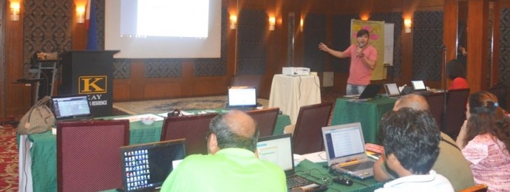
 PSO-GIS Data Officer Romille David demonstrates the use of QGIS 2.14 during the training on the utilization of Geo-mapping Technology.
 PRDP imparts Geo-mapping Technology to C. Luzon PPMIUs
Representatives from all seven provinces of Central Luzon were next in line for the trainings on the utilization on Geo-mapping Technology. Provincial Project Management and Implementing Units (PPMIUs) of Zambales, Bulacan, Aurora, Nueva Ecija, Pampanga, Bataan and Tarlac attended the said activity that aimed to produce a commodity map of each crop per province, and to enhance the provinces’ Provincial Commodity Investment Plans (PCIPs). The activity was held on June 14-16, 2016 at Angeles City, Pampanga.
To provide the attending PPMIUs with basic understanding on Geographic Information System (GIS), Project Support Office (PSO) GIS Data Officer Romille David led the discussion on Quantum Geographic Information System (QGIS) using QGIS 2.14.
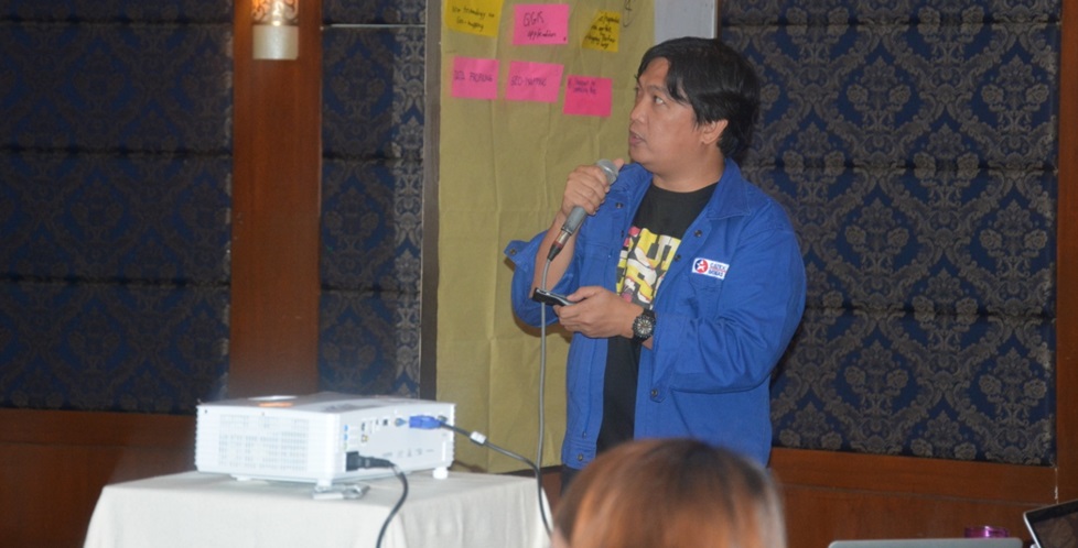
GIS Specialist Engr. Arnel Tenorio from the National Project Coordination Office (NPCO) also presented the Vulnerability and Suitability Assessment (VSA) and the Expanded VSA (e-VSA), which aims to develop a decision-support tool for planners, policy-makers and project implementers that could incorporate biophysical variables and climate abnormalities.
The training on Geo-mapping allowed participants to perform proper symbology, edit data geometry and attribute table, restore and acquire information through digitizing, export data from QGIS to Google Earth and vice versa, and perform spatial analysis using geo-processing tools.
Participants are expected to make use of GIS in spatial analysis for improved decision-making. (Dianne M. Lapuz, DA-PRDP RPCO3 InfoACE Unit)

NPCO-GGU Engr. Arnel L. Tenorio presents the background of VSA during the training.

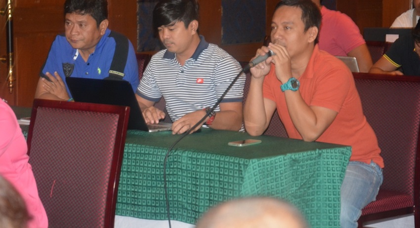
RPCO 3-GGU Officer Engr. Maurice Pineda comments on the commodity map outputs of PPMIU Zambales.
