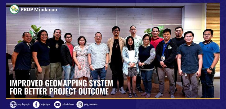
Improved Geomapping System for better project outcome
The applied geotagging technology is one of the scientific tools used by DA-PRDP in monitoring subprojects that ensures transparency and accuracy in their implementation.
The geotagging tool has contributed a lot to the success of the project. It is a tool that uses a PRDP Camera application to capture the various stages of project implementation, field monitoring, and other field activities. Each photo taken using the app includes a QR code as well as imprinted date, time, and location of the photo taken.
As DA-PRDP begins implementing subprojects under the second additional financing and EU Co Financing Grant, the geotagging and governance unit (GGU) has identified the need to refine and enhance its existing geo-mapping system to incorporate new updates and innovations to the system. The updated system also aimed to include other data and sections that would capture the criteria of prioritization in the two fund sources.
A four-day training on the “Enhancement of the Geomapping System in Support to the Implementation of the AF2 and Eu Grant” training workshop was conducted and joined by GIS Specialist and GIS Officers.
Part of the highlight of discussions is the possible update on the QGIS data where it will include Investment Portfolio Mapping from all fund sources of PRDP, Value Chain, Hazard Mapping, Proposed PRDP Phase 2 and MIADP subprojects, and a Dashboard on investment portfolio.
According to GGU Alternate Unit Head Joseph Pacon there will be more layers of information and data to be added to map.
“With this updated system, we want to make it into regional perspective not by subproject but on a macro level. We have to see the linkages of our subproject so we have to package it in such manner that it would reflect all the data needed, the interventions and commodities per region. This will also helpful to our partners from LGU,” said Pacon.
A review on the existing concept paper on the Enhancement of the geomapping system took place in order to identify the areas for enhancement and revision. There was also a workshop on geospatial data management and mapping the subproject cycle of PRDP as well as revisiting the existing applied geotagging tools.
The last day of the activity was given to the presentation of the proposed enhancement of Geomapping system based on the output from the technical sessions and workshops of the activity.
This activity was conducted by the Project Support Office Mindanao GGU in collaboration with the NPCO GGU and attended by the RPCOs from Region 9, 11, 12,13, and BARMM. (Joy Montecalvo, PSO Min)
#DAPRDP #RuralDevelopment #Mindanao #WorldBank
