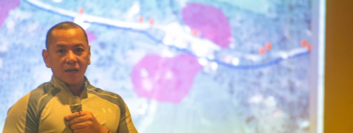
 PRDP National Project Coordination Office Geomapping and Governance Unit Head Samuel Belamide briefs GGU personnel from the regional and cluster offices on the various uses of geotagging in PRDP implementation including validation and procurement. (Photo by: Kathrino Resurreccion)
 Geotagging recognized as an effective transparency tool for gov’t projs
June 25, 2015
Davao City–The World Bank (WB) has recently recognized the Philippines as the leading nation in utilizing geotagging—a vital tool in promoting transparency of government-implemented projects.
With this, the WB has requested the Department of Agriculture (DA) to promote geotagging not only in the country, but also internationally, as the foreign financial institution is set to release guidelines for geotagging application on the procurement and implementation of projects supported by three major foreign fund sources in the country.
Aside from the World Bank, the Asian Development Bank (ADB) and Japan International Cooperation Agency (JICA) will soon adapt the tool in implementing their assisted projects in the Philippines.
Pioneered by the DA as a virtual monitoring tool for agri-fishery projects in 2011 under the Mindanao Rural Development Program, geo-tagging is now being adopted by 17 WB-supported projects of national agencies including Departments of Agrarian Reform, Public Works and Highways, Environment and Natural Resources, and Social Welfare and Development, and the National Irrigation Administration among others.
The geotagging tool is being utilized under the DA’s Philippine Rural Development Project (PRDP), also a WB-assisted project to validate and monitor proposed and implemented sub-projects.
Other DA agencies such as the Agricultural Training Institute and the National Meat Inspection Service are undergoing training from the PRDP to allow them success similar to MRDP/PRDP projects.
PRDP Deputy Project Director Arnel De Mesa said that the WB and Commission on Audit have asked the DA to help craft and develop standard procedures in auditing and monitoring government projects to include geotagging as a tool in the system.
“The national government will soon release a standardized process scheme in monitoring and evaluating government projects,” De Mesa said during the Geomapping and Governance Unit Coordination Meeting on June 24, 2015 in Davao City.
“With this, we see how geotagging is affecting the policy of the national government in regards with sub-project validation, monitoring and evaluation, and approval of projects,” he added.
GGU Head Samuel Belamide, the team that handles the PRDP geotagging said that the tool covers the entire project cycle from validation to implementation, completion and even the assessment of the project impact.
“The guidelines set by the WB for the foreign-assisted projects are based on the experience of the PRDP and we are glad that we will be applying this tool to other government projects,” he added.
Belamide and his team are responsible for the training of other government agencies in geotagging as well as PRDP’s Local Government partners and winning contractors for various sub-projects.
Geotagged photos of physical accomplishments for projects and deliveries of goods are required for contractors’ progress billings and requests for payment.
Geotagging is an ICT application that associates digital resource such as photos and videos with geographic and location information with high degree of precision. Geotagged photos are then automatically mapped into Google Earth, showing the exact location of a particular project. (Catherine Nanta, DA-PRDP)
