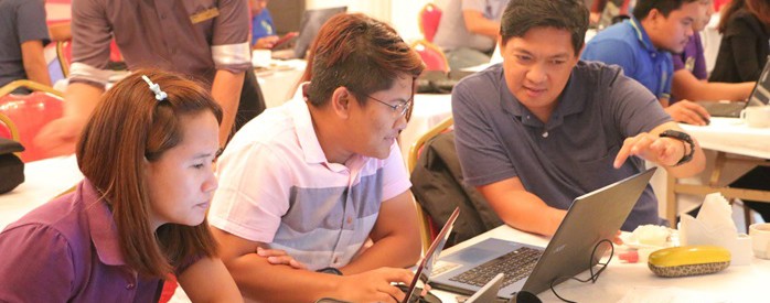
 National Project Coordination Office (NPCO) GIS Specialist Engr. Arnel Tenorio is hands-on with the week-long comprehensive training attended by regional I-PLAN components and GGU counterparts on May 10-13 at Lohas Hotek, Angeles City, Pampanga.
 Geo-mapping eyed as key tool for PCIP enhancement
Formulating the Provincial Commodity Investment Plan (PCIP) requires vigorous and extensive research, as from it emerges the proposed infrastructures and enterprises to be funded and implemented by the Philippine Rural Development Project (PRDP).
The PCIP, which is based on the Value Chain Analysis (VCA), contains priority programs and projects that aim to increase marketable surplus through investment on strategic rural infrastructure and livelihood enterprises.
Developed by the Department of Agriculture’s Philippine Rural Development Project (PRDP), it serves as the main basis in selecting eligible I-BUILD and I-REAP sub-projects.
In support to this, a comprehensive training on the utilization of Geo-mapping was conducted by the Geo-mapping and Governance Unit (GGU), attended by representatives of the I-PLAN group — the component primarily responsible for the enhancement of the PCIP.
Geo-mapping is a spatial mapping technique used to represent geographical data (agricultural patterns, crop production, land suitability) into an online interactive visual map.
The tool greatly aids in targeting and prioritizing development interventions, and is essential for both the PCIP and VCA in determining whether priority agricultural commodities are within the value chain that is viable for investment.
The training also included a lecture and workshop for the Expanded Vulnerability and Suitability Assessment (e-VSA), an online tool developed by PRDP to ensure technical validity and greater transparency in planning and prioritization of infrastructure and enterprise development sub-projects.
In his message, Project Support Office (PSO) I-PLAN Component Head Ariel Briones highlighted the importance of the innovative tool in the process of planning, and how the component intends to make it a part of the system. “Other than completing the PCIP, we want to reform the process of planning, for the benefit of the agriculture and fishery sector and the rural community,” said Briones. “Let’s not stop substantially gathering information.”
Participants from across the North Luzon cluster were able to present their respective outputs, by which the NPCO GGU provided their constructive comments on the regions’ geo-maps. (Kayla Arceo, PRDP North Luzon)
