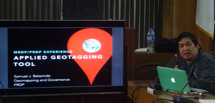
 PRDP NPCO Geographic Information System (GIS) Data Specialist Arnel Tenorio orients the participants about the Applied Geotagging Tool (AGT) during the Coaching Session on AGT for the Approved I-REAP Subprojects held on February 17 in Daet, Camarines Norte.
 DA-PRDP safeguards project beneficiaries, promotes technology transfer through geotagging
John Isuela, Integrated Pineapple Processing Project Coordinator of Labo Progressive Multi-Purpose Cooperative (LPMPC), got acquainted with the Philippine Rural Development Project’s (PRDP) Applied Geotagging Tool (AGT) during the training on the use of AGT and Expanded Vulnerability and Suitability Assessment (E-VSA) held in Albay on October 17–21, 2016.
Three months later, Isuela shared that he was able to produce geotagged photos of LPMPC’s production activities, harvest area and market which would support not only their P27.98 million-worth proposed Camarines Norte Pineapple Trading and Processing Project under PRDP but also the expansion of their partnership with Trias, an international development organization based in Belgium that has been assisting the cooperative’s pineapple fiber production for three years.
Isuela was one of the participants during the series of Coaching Sessions on AGT conducted by the PRDP’s Geomapping and Governance Unit (GGU) held in Bicol on February 14–17, 2017. The training aims to fast track the province’s preparation of the geotagging requirements for enterprise development (I-REAP) subprojects during the pre-implementation, implementation and business enterprise monitoring stages. The last leg of the said training was conducted in Daet, Camarines Norte on February 17.
The GGU team also helped finalize the proponent groups’ AGT plan to facilitate PRDP’s procurement process. Present during the coaching session were the LPMPC and the Samahang Organic Fair Trade Coconut Farmers Bicol Quezon (SOFACOFA-BQ), PRDP’s proponent groups for its I-REAP subprojects in the province. At the AGT training, the GGU team emphasized the guidelines in geotagging I-REAP business enterprise subprojects.
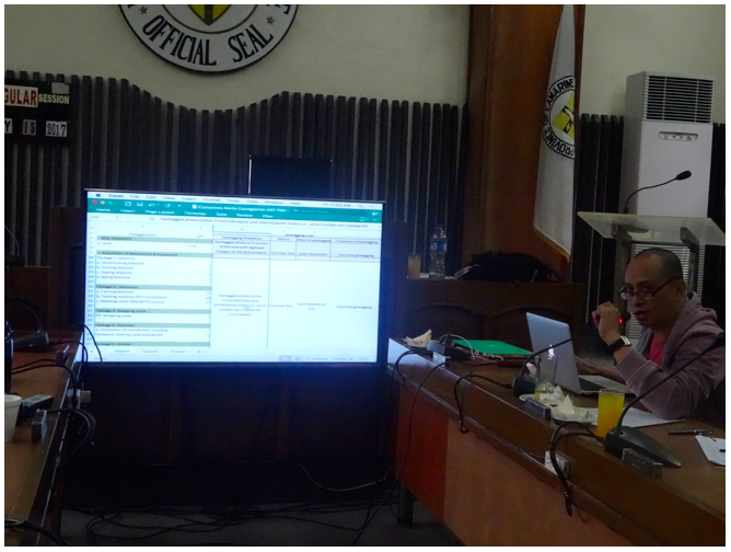
PRDP NPCO GIS Officer Stephen Mangupag assists the Samahang Organic Fair Trade Coconut Farmers Bicol Quezon (SOFACOFA-BQ) in the AGT Plan preparation. (Photo by Annielyn L. Baleza, DA-PRDP RPCO V InfoACE Unit)
Geotagging is one of the PRDP’s innovative tools designed to enhance transparency and supervision of the subprojects’ development. It is an information technology application that links digital resources like photos and videos with geographic and location information with high degree precision. Through geotagging, PRDP facilitates easy and accurate locations of Project interventions including infrastructures, livelihood and agri-fishery facilities on the map. This allows virtual monitoring and supervision of subproject implementation.
GGU uses geotagging and geomapping in PRDP implementation to promote strategic planning for agricultural development intervention, effective communication of gaps and overlaps and subproject monitoring.
PRDP National Project Coordination Office (NPCO) Geographic Information System (GIS) Data Specialist Arnel Tenorio said that PRDP promotes technology transfer through geotagging.
“Binibigay talaga namin ito sa LGU para gamitin (We really give this (technology) to the LGU for their use),” he said. Thus, he also appealed to the participants of the Coaching Session on AGT to synergize in using the tool.
He added, “Geotagging is a safeguard for the recipients. Sa pamamagitan po nito, masisiguro natin na nasa tamang recipients ’yong naibigay na proyekto (Through geotagging, we can be assured that the project was given to the right recipients).” ### (Annielyn L. Baleza, DA-PRDP RPCO V InfoACE Unit)
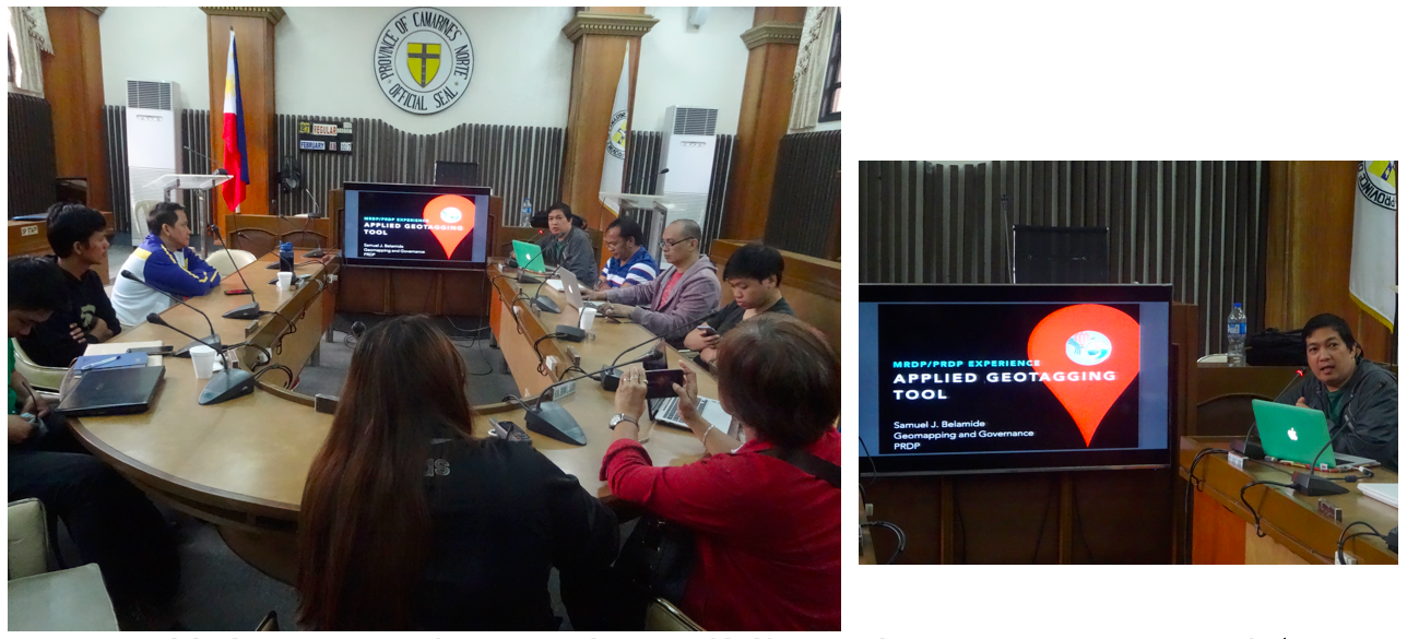
PRDP NPCO Geographic Information System (GIS) Data Specialist Arnel Tenorio (1st from right) orients the participants about the Applied Geotagging Tool (AGT) during the Coaching Session on AGT for the Approved I-REAP Subprojects held on February 17 in Daet, Camarines Norte.