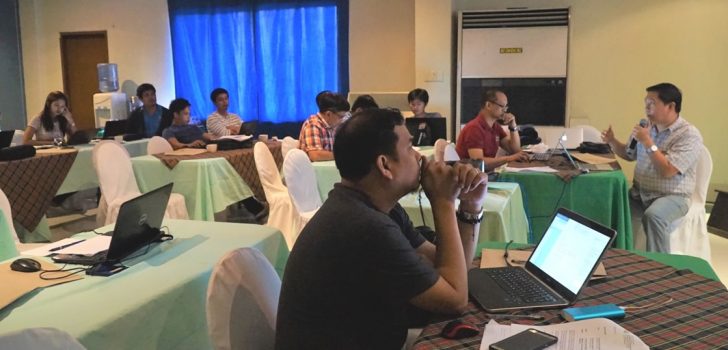
 NPCO GIS Specialist Engr. Arnel Tenorio led the discussions on GGU updates during a coordination meeting on March 6-10, 2016.
 Geotagging Technology features new ‘Organizer System’
The Applied Geotagging Technology is already an established monitoring tool for infrastructure and enterprise subprojects funded under the Philippine Rural Development Project (PRDP).
Geotagging enables project implementers (i.e. Project Staffs, Department of Agriculture, and Local Government Units) to view the physical progress of subprojects without actually visiting the subproject site locations.
However, aside from monitoring subprojects, geotagging is also critical in subproject preparation. Through commodity polygon maps generated through geomapping, economic and financial indicators (e.g. internal rate of return, net present value, benefit cost ratio, return on investment, payback period, etcetera) are gauged to test the feasibility of a subproject.
As there are hundreds of geotagged photos taken per subproject, the Governance and Geomapping Unit (GGU) of the Ilocos Region, led by Mr. Deo G. Rivera, introduced an ‘organizer system’ to the geotagging technology.
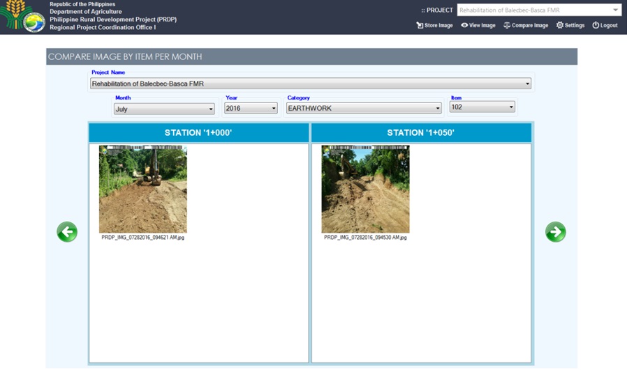
The ‘organizer system’ sorts the geotagged photos by item of work and by the date it was taken. To illustrate, this system works like a graph: where the horizontal axis refers to the dates the geotagged pictures are taken, and the vertical axis refers to the item of works.
Sorted by item of work and by date taken, the geotagged photos can be easily accessed by project implementers and contractors for use in monitoring and in submission of billing requirements. The system can also compare previously taken geotagged photos with those recently taken.

The above images compare Item 102 of Stations ‘1+000’ and ‘1+050’ in the month of July 2016 (Screen Grab from RPCO 1-GGU).
The ‘organizer system’ was shared among Luzon A cluster GGU staff members during a coordination meeting held at Oasis Country Resort and Hotel on March 6-10, 2017.
Meanwhile, the Luzon A cluster GGUs completed the map of public markets to aid the enterprise component of the PRDP in prioritizing business proposals, and the infrastructure component in placing horizontal and vertical structures for the farmers. (Dessa U. Estrada and Vida V. Cacal, DA- PRDP RPCO1 InfoACE)

The map of public markets in Luzon A Cluster (Screen Grab from Luzon A PSO GGU)
