PRDP boosts utilization of Geotagging
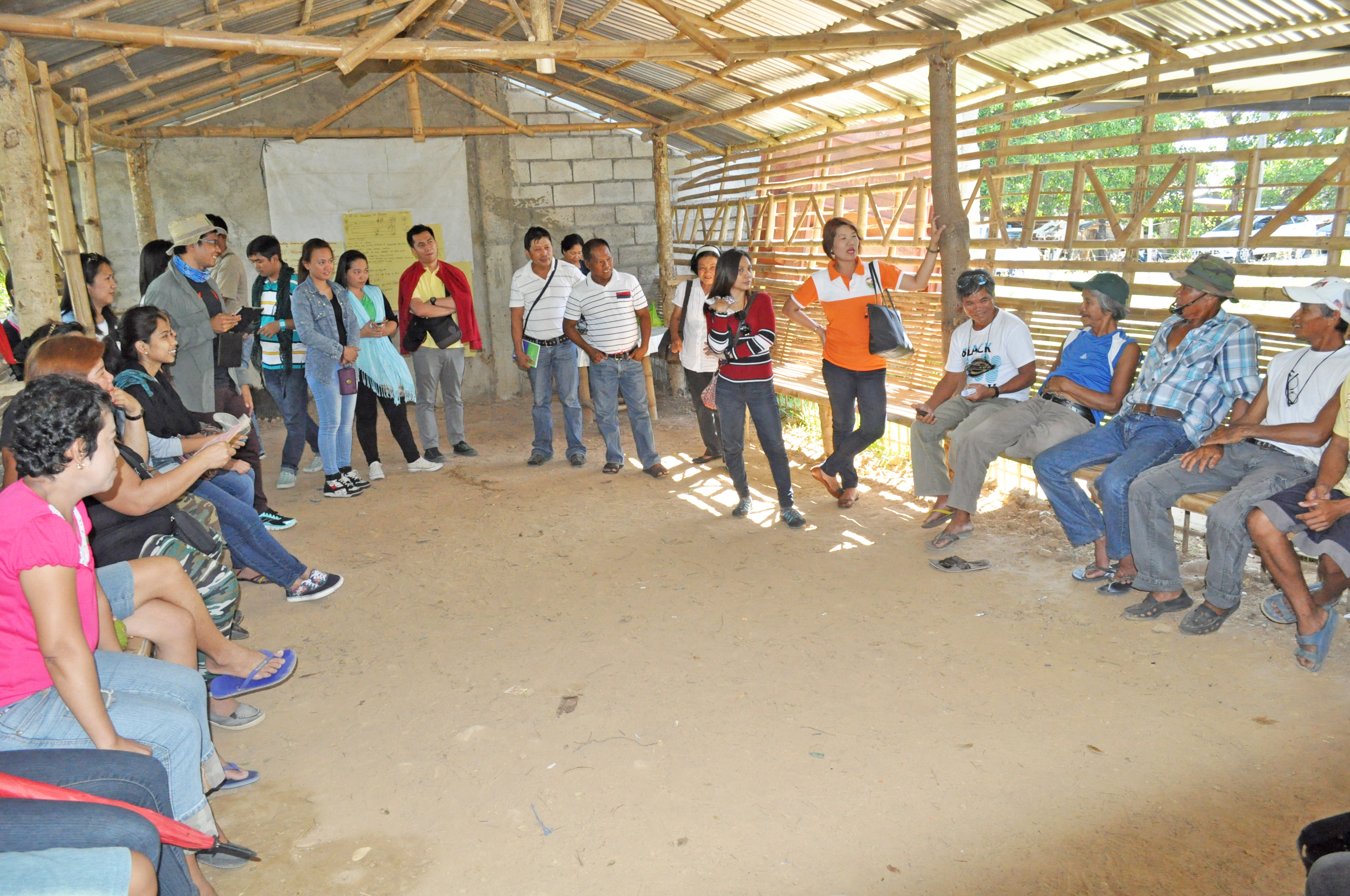
San Ildefonso, Bulacan – To enhance geotagging and geomapping practice and efficiency, the Philippine Rural Development Project (PRDP) Geomapping and Governance Unit (GGU) conducted a training on the utilization of the tool for the enterprise and marketing sub-projects in Bulacan on May 14-15, 2015.
The training was participated by Local Government Unit partners and I-REAP Proponent Groups from Bulacan.
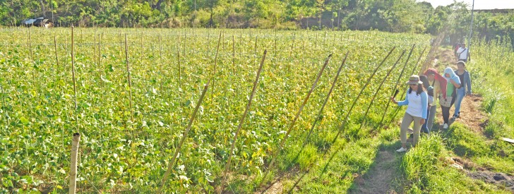
The group visited the Triple B Charantin Enterprise sites in various barangays in San Ildefonso, Bulacan to validate and geotag proposed locations of the subproject. The fields in barangays Bulusukan, Bubulung-munti and Buhol na Mangga were seen as prospective areas for ampalaya production.
Partnering with PRDP for the I-REAP subproject are the Bulusukan Farmers Palay and Vegetables Producers Cooperative, Bukal Farmers Producers Cooperative and Buhol na Mangga Marketing Cooperative. The cooperatives eye dried ampalaya fruits, ampalaya powder, vegetable trading and drying servies as main products and services.
PRDP Geographic Information System (GIS) Data Specialist Joseph Pacon who led the orientation explained that geotagged photos play a big role in all stages of project implementation as prospective bidders and the public in general can view the project sites at no cost.
“Interested contractors can have a virtual visit of the proposed subproject with ease and have an overall idea of the current condition of the site,” added Pacon.
Subprojects under procurement can also be monitored through the PRDP website that include downloadable bid documents. Another feature is the SP tracking, which shows the percentage of a subproject implementation with attached pictures and equipment. Images before and during the actual implementation are also accessible through the website.
To utilize geotagging, one must have a GPS-enabled camera phone with internet connection to shoot and upload photos, which will then be embedded in Google Earth. Geographical coordinates are automatically associated in the geotagged pictures.
In an earlier interview, Department of Agriculture Secretary Proceso Alcala proudly shared how the agency has pioneered the use of geotagging which also paved the way for other government agencies to utilize this innovative approach and promote transparency and cost- effectivity in project implementation.
Since its launch in the Philippines in 2011 through the Mindanao Rural Development Program (MRDP), geotagging has continued to provide convenience in project management, allowing implementers, contractors and the general public to have an accurate view of projects even in remote areas. (Kayla Arceo, InfoACE Unit PSO Luzon A )

