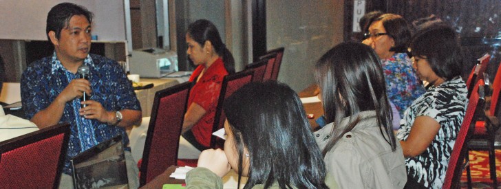
 Engineer Arnel Tenorio (left) of the Geomapping and Governance Unit discusses to the participants the vital role of e-VSA maps for the success of proposed subprojects.
 Central Luzon PPMIUs gather for e-VSA Training Workshop
Angeles City, Pampanga –Key expanded vulnerability and suitability analysis (e-VSA) innovations, such as geomapping and georeferencing, were imparted to the Provincial Project Management Implementing Units (PPMIUs) of Central Luzon during the e-VSA Training Workshop, an event spear headed by the I-PLAN Component of the Regional Project Coordinating Office 3 (RPCO 3) last March 24-27 at the Prime Asia Hotel in this city.
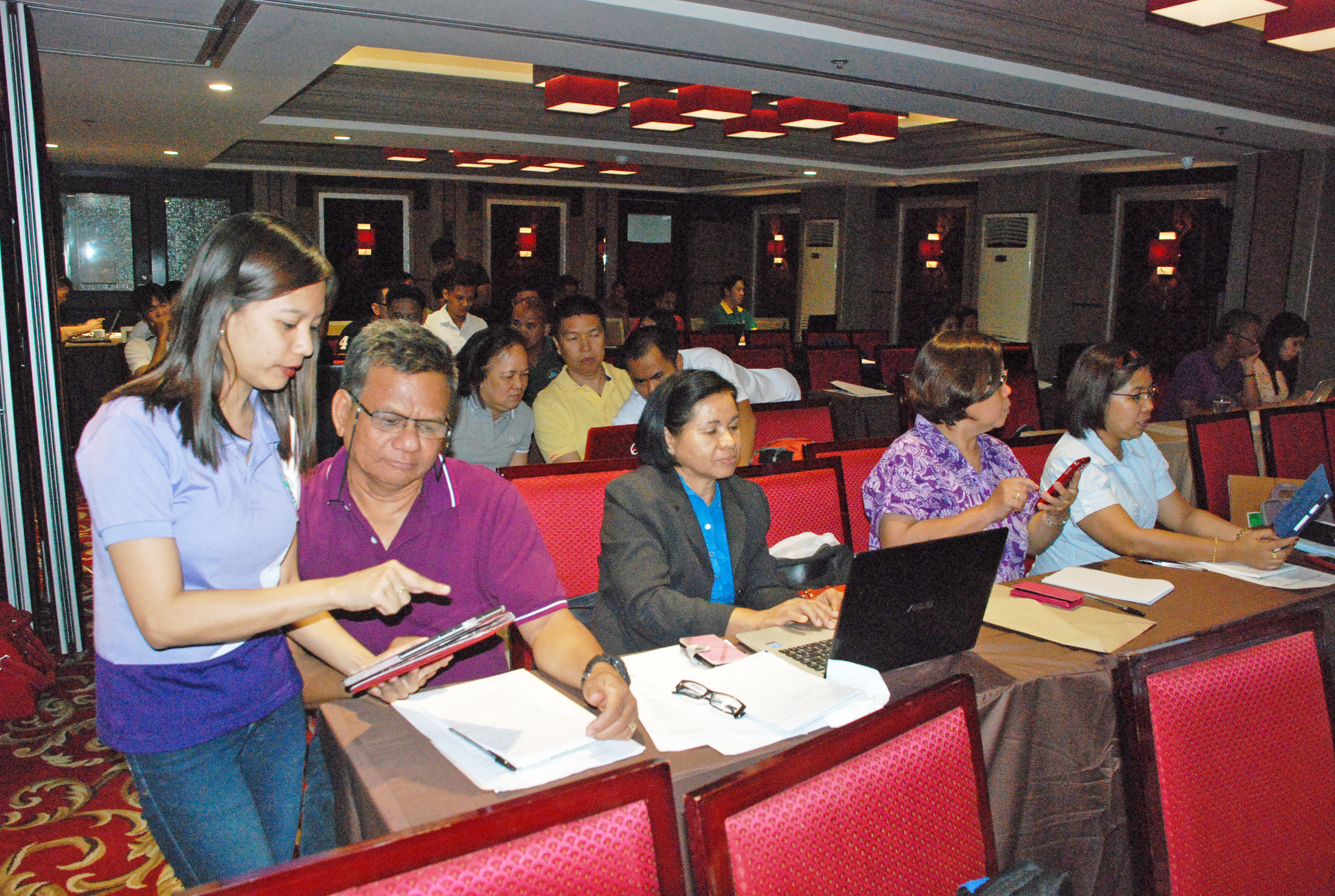
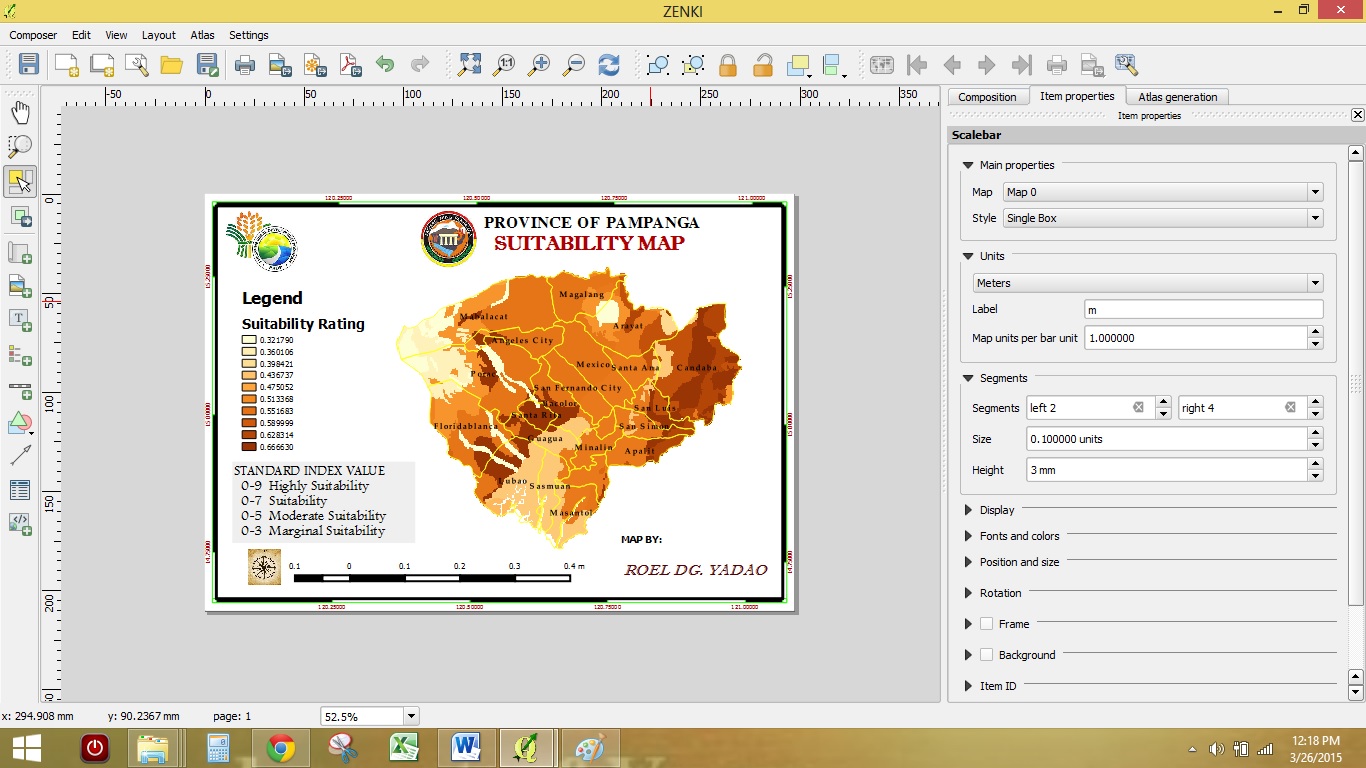
The training workshop, which is intended to equip the PPMIU with the essential knowledge regarding the software used in geomapping and georeferencing, was facilitated by Engineer Arnel Tenorio from the Geomapping and Governance Unit of the National Project Coordination Office. During the event, the participants underwent a hands-on workshop as regards to the formulation of e-VSA maps through geomapping and georeferencing, which is based on various socio-economic indicators such as production area, poverty incidence, number of farmers and fishers, among others. The participants presented the e-VSA maps for the commodities as their output of the training workshop, which they can later use in crafting the value chain analysis and the provincial commodity investment plan.
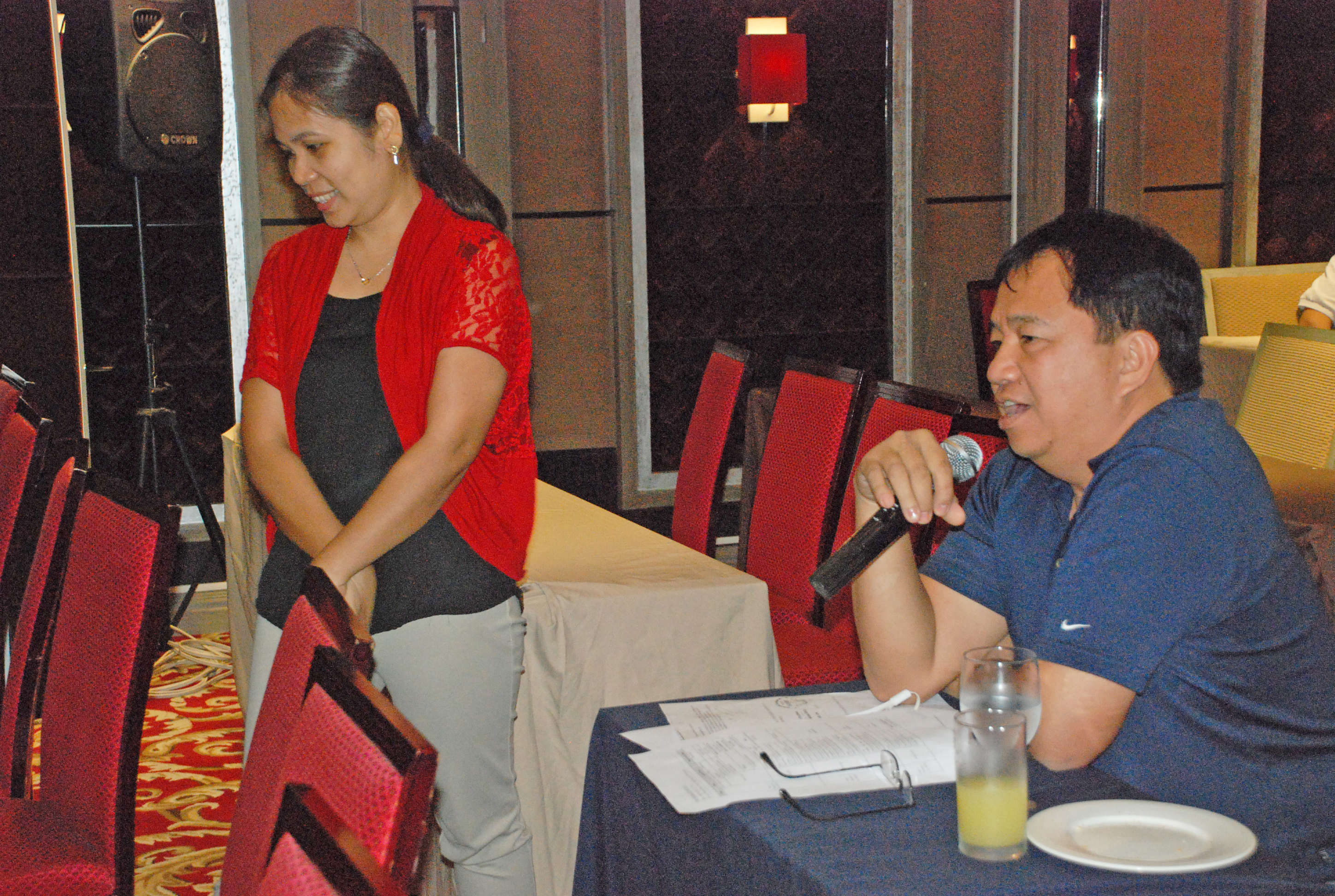
Regional Technical Director and RPCO 3 Focal Person Crispulo B. Bautista Jr., who attended the said event, emphasized the significance of the training workshop. “This 4-day training workshop is highly important, as e-VSA is vital for the PPMIUs to identify and come up with potential sub-projects for their respective provinces,” said Bautista. He also stated that the event is part of a series of trainings of RPCO3 for the PPMIU to have an updated understanding regarding the Philippine Rural Development Project (PRDP). RPCO 3 IPLAN Component Head Mr. Edwin Paningbatan also attended the training workshop, wherein he advised the participants that the e-VSA data should be verified accurately in order to avoid errors in validating proposed sub-projects.
Throughout the training workshop, the Quantum Geographic Information System, or QGIS, was the software used by the participants in conducting geomapping and georeferencing, which is necessary in making e-VSA maps. The e-VSA is an online tool developed by PRDP to ensure technical validity and greater transparency in the planning and prioritization of infrastructure and enterprise development. (Mark Erron San Mateo)

RPCO3 IPLAN Component Head Edwin Paningbatan (right) emphasized the importance of e-VSA, not only for the validation of subprojects, but also for the banner program activities of the Department of Agriculture.


