CARPCO take steps in mainstreaming PRDP planning tools and approaches
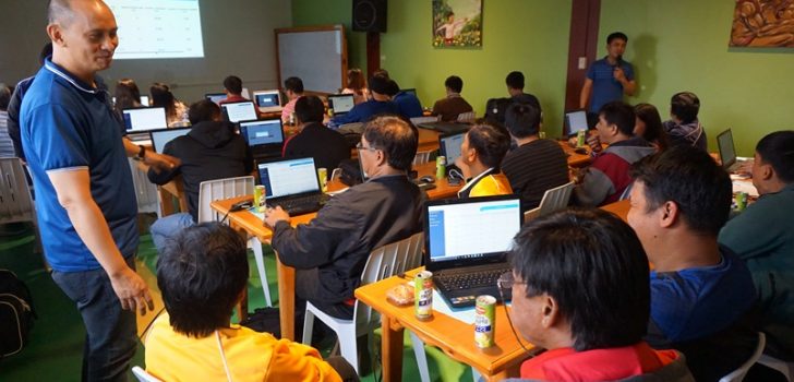
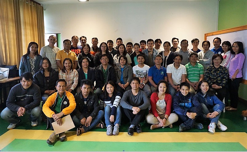
Baguio City – As a step towards mainstreaming Philippine Rural Development Project (PRDP) tools and approaches, planners in the municipal level were trained on the utilization of Expanded Vulnerability and Suitability Assessment (eVSA) and Geo-mapping Technology on August 1-3, 2017.
Spearheaded by the I-PLAN (Local and National Planning) component of the PRDP Regional Project Coordination – CAR (RPCO-CAR), the training intended to enhance the knowledge of the LGUs in determining priority commodities best suited in a given area in order to identify interventions to be funded and implemented.
Aside from the municipal planners, technical staff from the banner programs of the Department of Agriculture – CAR (DA-CAR) participated in the training.
The eVSA is a web-based tool used for strategic planning specifically in the ranking of municipalities to assess its suitability to a specific commodity, its vulnerability to agro-climatic as well as the socio-economic conditions of a particular area.
Geo-mapping on the other hand is the visual representation of the ranking of municipalities generated from the eVSA results. It will be translated into a map showing the ranking based on the planners’ parameter (i.e. poverty incidence, production area, no. of farmers/ beneficiaries, among others).
Accompanied by open discussion, the training focused on hands-on workshops and presentation of outputs on the use of the eVSA and geo-mapping.
“As we are in the middle of PRDP implementation, we have to mainstream these tools while addressing constraints,” stressed Susan D. Balanza, RPCO-CAR I-PLAN Component Head.
Meanwhile, technical staff of municipalities with proposed and ongoing subprojects under the PRDP has earlier participated in a hands-on training on the application of geo-mapping and governance tools. (Elvy S. Taquio, RPCO-CAR InfoACE Unit)

