PRDP tool now used in processing land use permits
Aside from improving the socio-economic lives of Filipino farmers, the Philippine Rural Development Project (PRDP) also aims to mainstream its various innovative science tools for the adoption of Local Government Units (LGUs) and national government agencies in their policy and decision-making activities.
For the LGUs of Ilocos Region, the Applied Geotagging Technology (Geotagging) seems to gradually permeate the conduct of regular activities.
The Municipality of Paoay in Ilocos Norte first proposed for the Rehabilitation of the Nalasin-Sungadan-Langiden Farm to Market Road in 2015. During the preparation of the feasibility study for the subproject, the Municipality’s engineering office was trained to utilize the geotagging technology.
The Geotagging technology is used to promote transparency and accountability in the funded subprojects of the Philippine Rural Development Project. It is a camera application wherein captured pictures are code encrypted, enables real-time monitoring of enterprise and infrastructure subprojects. They contain information like the exact location, time, and place where the pictures were taken.
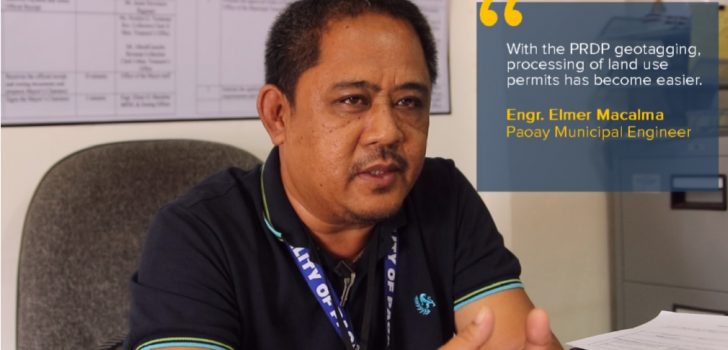
Engr. Elmer Macalma of the Municipality of Paoay, Ilocos Norte shared how the Engineering Office now utilizes geotagging technology in the processing of land use permits. Instead of going to the actual sites, staff of the Municipal Engineering Office take the geotagged pictures of the location and upload them in Google earth.
In just several clicks, staff of the Paoay Engineering Office can check on the lots and establishments to be built or under construction in the Municipality. Aside from the usual contents of a geotagged picture, the uploaded photos used in the approval of land use permits also contain information on: the application number for the permit, the date of application, the date of release of the clearance, the area of the establishment or house in square meters, and the name of the owner of the establishment or house.
Engr. Macalma also shared that the use of geotagging technology helps in the assessment of taxes. He said that through the geotagged pictures, the Municipality’s Assessor Office can now easily assess for any increase in tax impositions (i.e. residential to commercial establishments) which in turn increases the income of the Municipality.
Also, the introduction of Citizen’s Monitoring by the PRDP, which the Municipality also adopted in other projects, greatly helped in engaging the communities. Engr. Macalma said that residents living in areas where Municipal projects are located are now more involved in monitoring and maintaining the projects.
In addition to the geotagging technology and citizen’s monitoring, the Municipality of Paoay also adopted the conduct of a Pre-Procurement Conference before proceeding to bidding. Before PRDP, the Municipality does not conduct PPC, unless specifically provided by law. However, PRDP has shown them the importance of PPC. Since the commencement of the PRDP, the Municipality’s Bids and Awards Committee (BAC) conducts PPC for the goods and services to be procured by the Municipality.
As the Project progresses, it is expected that more PRDP tools will become part of the conduct of regular government activities and processes. Indeed, PRDP is not only gradually transforming lives and enabling communities but effecting positive change as well in the system of government in the Ilocos Region.### (Dessa U. Estrada and Vida Cacal, RPCO1 InfoACE Unit)