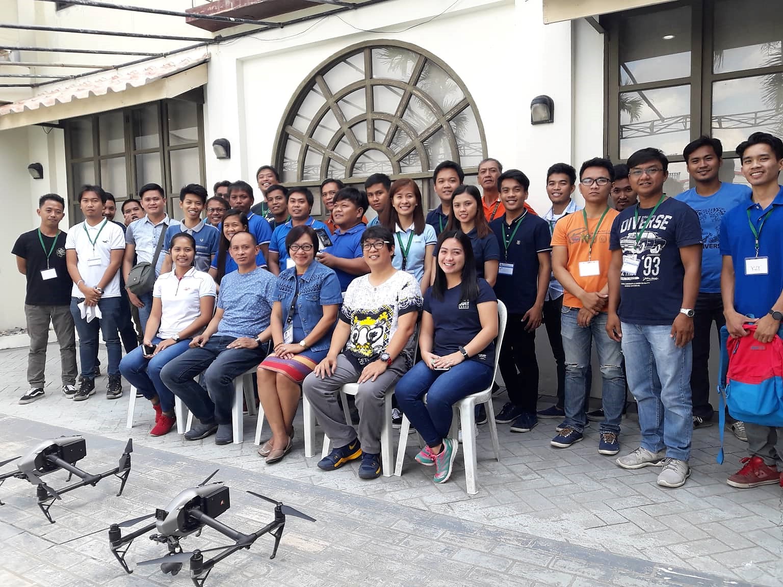
 ALL HANDS ON DECK. The particiants of the three-day Unmanned Aerial Vehicle (AUV) with Geomapping Training do the simulation activities prior to test flights. "We've been used to tablets and cellphones doing our job on field. Now, it is exciting to fly these drones," says Daveson Angeles, one of the representatives from Santiago City, Isabela.
 RPCO2 conducts UAV Geomapping Training
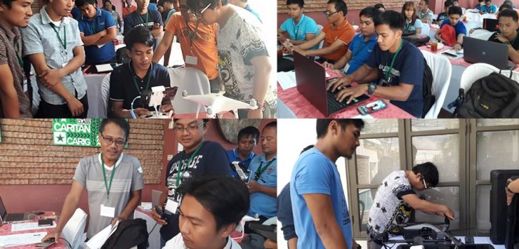
The Geomapping and Governance Unit (GGU) of the Regional Project Coordination Office (RPCO 2) has invited Engr. Arnel Tenorio, GIS Data Specialist and Engr. Stephen Mangupag, GIS Officer, both from the National Project Coordination Office (NPCO) to train the representatives of the different PLGUs and MLGUs with ongoing subprojects the use of Unmanned Aerial Vehicle (UAV) in Geomapping activities.
“Trainings like this are really needed to fortify subproject implementation in the Region. This tool introduced by PRDP will one day be adopted by the different agencies,” Regional Technical Director Rose Mary G. Aquino, RPCO 2 Deputy Project Director said in her message during the opening ceremonies at Ivory Hotel, Tuguegarao City.
“We use copter type of UAV to map an area as wide as 5 to 10 hectares. This will provide us with adequate data needed to confirm the viability of a subproject,” Engr. Tenorio said. “Since Google earth is not a perfect reference, we use UAV to provide accurate geographic information,” Engr. Mangupag added.
According to Engr. Emilio Andres, RPCO2 GGU Specialist, they will use the ongoing Construction/Rehabilitation of Namabbalan Norte-Baliuag-Bical-Cabbo Farm to Market Road with bridges for actual field flights of the UAVs.
“The training, which will end on Friday, October 19, will include Aerial Photography and Videography,” he said. Representatives from all banner programs of DA RFO2 also attended the training. (Ferdinand N. Cortez, RPCO2 InfoACE)