PRDP-Bicol to intensify use of drone technology for infra, enterprise subprojects monitoring
To ensure transparency and supervision in implementing Philippine Rural Development Project (PRDP) subprojects in Bicol, the Project’s Geomapping and Governance Unit (GGU) will be intensifying the use of unmanned aerial vehicles (UAV) or drones in planning, monitoring and evaluation of infrastructure (I-BUILD) and enterprise development (I-REAP) subprojects.
According to Joseph Pacon, Alternate GGU Head of the National Project Coordination Office (NPCO), considering the restricted mobility and existing protocol in several project sites because of the threat of COVID-19, the PRDP GGU plans to maximize the use of drone footages which PRDP component and unit staff may access to facilitate virtual site visits and serve as basis for their subproject review and appraisal. He mentioned that all GGU staff nationwide will be receiving one unit of UAV and smartphone for geovideo. He added that the PRDP NPCO GGU is currently preparing for the conduct of a virtual technical training on flying a drone tentatively scheduled in March 2021. Aside from the virtual exercises or online trainings, the NPCO GGU team will produce a comprehensive module which covers the application of all the digital infrastructure.
In 2020, the PRDP was recognized by the World Bank for establishing a global best practice of conducting two virtual implementation support missions despite the pandemic through innovations such as virtual field visits using digital tools like smartphone, drone, laptop and Internet connectivity.
PRDP-Bicol Geographic Information Systems (GIS) Officer Engr. Philbert Nebres cited the benefits of using drone technology in subproject monitoring saying “Ang advantage ng drone video is nakikita natin yung impact (ng subproject)—yung top view nya na mga commodities, marami nang pagbabago like sa production area tapos nagdadagdag na rin yung mga residents along the site’s road so yung impact ng before and after ay nakikita natin. He add ed that it keeps the project managers updated about each subprojects’ accomplishment status.
Prior to the COVID-19 pandemic, PRDP-Bicol has been using drone technology in subproject monitoring using borrowed UAV and with technical assistance from DA Regional Agriculture and Fisheries Information Section (RAFIS) V and Disaster Risk Reduction and Management (DRRM) Unit.
“In the coming years, we are hopeful that we will be able to mainstream these tools to our partners especially our local government units,” Pacon said. (Annielyn L. Baleza, DA RAFIS V/PRDDDDP RPCO V InfoACE Unit)

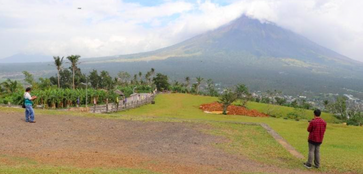
PRDP NPCO Alternate GGU Head Joseph Pacon supervises PRDP-Bicol GIS Officer as he flies a drone.
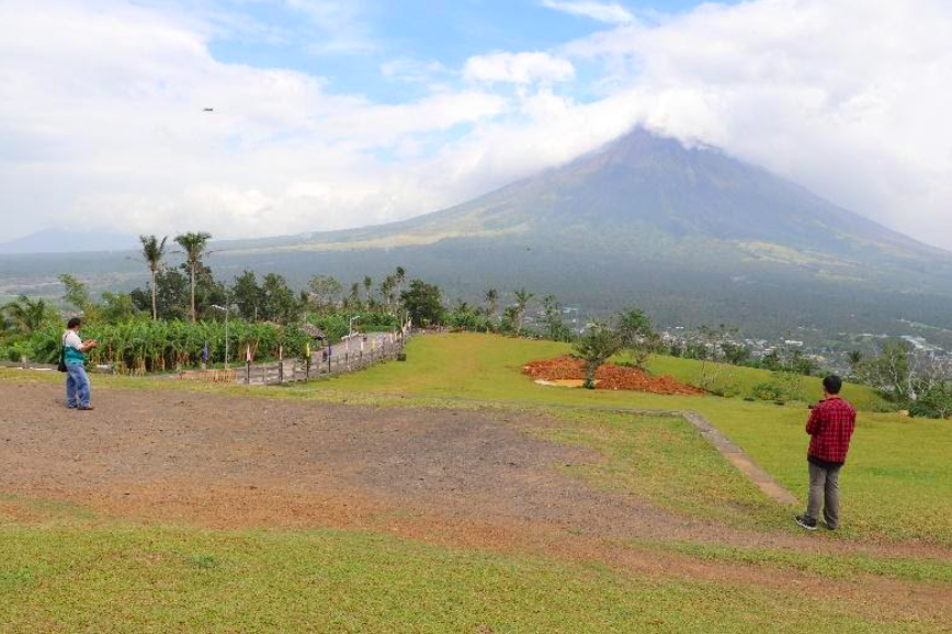
PRDP NPCO Alternate GGU Head Joseph Pacon supervises PRDP-Bicol GIS Officer as he flies a drone.