Local officials gain geo-mapping skills for project prioritization and transparency
“We expect that in the near future, the planning system of the agriculture sector will inevitably improve with the use of tools introduced by the Department of Agriculture’s Philippine Rural Development Project (DA-PRDP).”
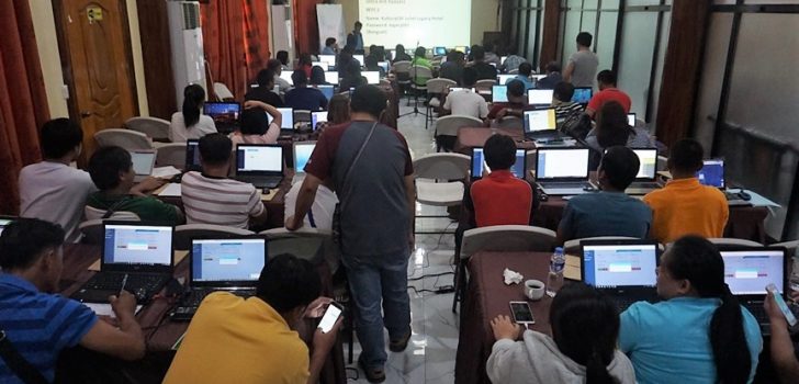
This was the assurance that Engr. Arnel Tenorio gave to participants during the training conducted by the planning component recently.
Serving as resource speaker during the training on Quantum Geographic Information System (QGIS) using Open Source Application, Engr. Tenorio, GIS Data Specialist of PRDP National Project Coordinating Office, added that among the PRDP’s innovated prioritization tools referred to includes the applied geo-tagging and expanded-vulnerability and suitability analysis (e-VSA) tools.
“These tools were created to assist planners in prioritizing sub-projects for fund-sourcing and implementation,” he said.
Addressing the participants which are composed of planning staff from the provincial and municipal local government offices in the Cordillera Administrative Region alongside those from the DA- Regional Field Office together with PRDP RPCO-CAR, Arnel Gagujas, I-PLAN Specialist of the DA-PRDP’s RPCO said that the training is an indispensable part of the PRDP’s mandate to mainstream the project’s innovated prioritization tools to the provinces.
“As such, local government planners are called upon to enhance their capabilities in applying geo-mapping and governance tools for planning, implementing and evaluating infrastructure and enterprise project proposals,” he added.
Under the PRDP, these tools help to effectively monitor the quality of work, ensure delivery of goods as well as compliance to the social and environmental standards. Furthermore, these tools are needed in the consideration of project prioritization, climate change assessment and conduct of commodity value chain assessments.
“The introduction of geo-mapping using open-source application software such as the QGIS freeware online will aid in the use of the aforementioned tools in creating maps for easier visualization, thus more effective decision making for planners,” said Gagujas.
Mark Ismael, Project Development officer of LGU Mayoyao, Ifugao appreciated the use of the tools that were taught to them as it will make decision making, project prioritization and transparency easier to implement.
“The e-VSA tool is amazing as we can now pinpoint the prioritized municipality that needs to be assisted in terms of project prioritization,” shared Ismael.
The training successfully finished off with presentations of tables and digitized maps per group created by participants during the workshop sessions.
“From the tables, maps and other outputs that you have shown, it is apparent that you are now skilled in using these tools. As you go back to your respective offices, I hope you can contribute better to the planning and prioritization of projects in your area using these tools,” Engr. Tenorio concluded. ###Mabel Zabala, RPCO-CAR InfoACE